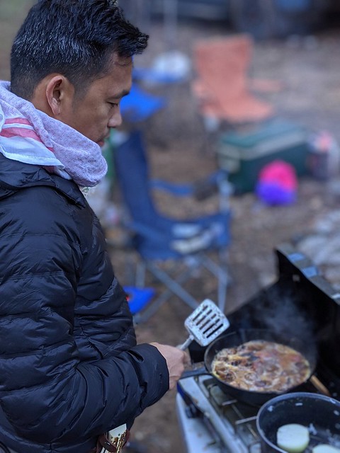
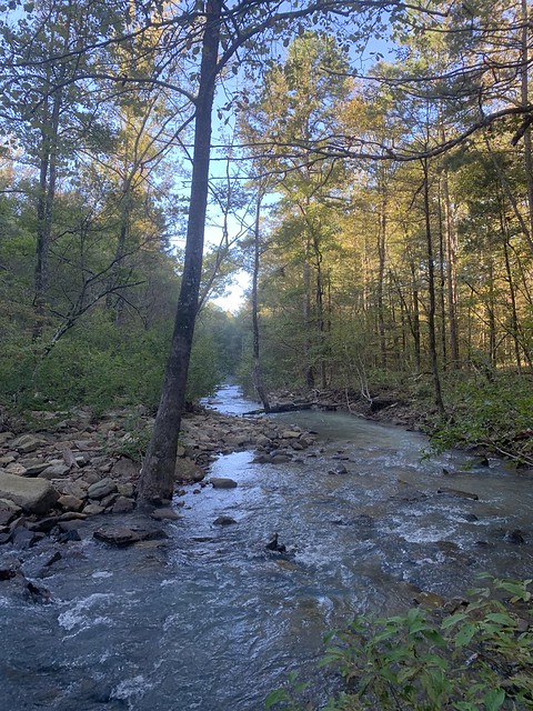
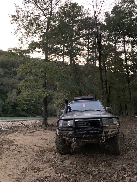
Sunday morning, we woke up to the smell of breakfast and sound of the flowing river.

Knowing yesterday spent the whole day on paved roads, we had a choice to make. The route tail we are on takes 3 days to complete. Today was Sunday and that means Tuesday we would be out of the trail, at the latest. That was all good, but some of us have to go to work that day. We all decide to continue into the trail as far as we could and take the next bailout point in the afternoon.
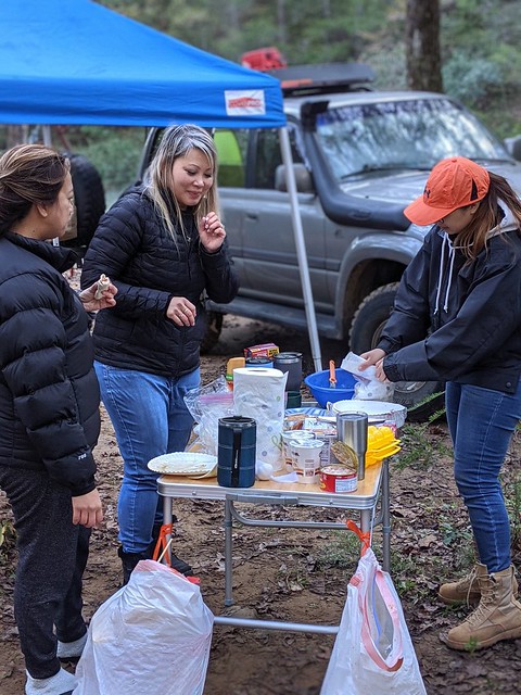
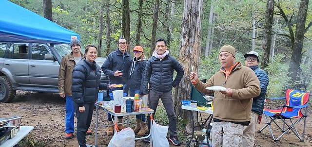
That left us to cook the lunch food now and pack it for the trail. Time was very important so we would just eat while driving on trail, and gain as much coverage as possible.

Nadine was pretty good making containers out of paper plates. Food to go on the trails.
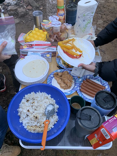


Better to have too much food, then no food.
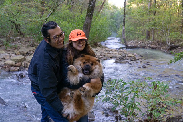
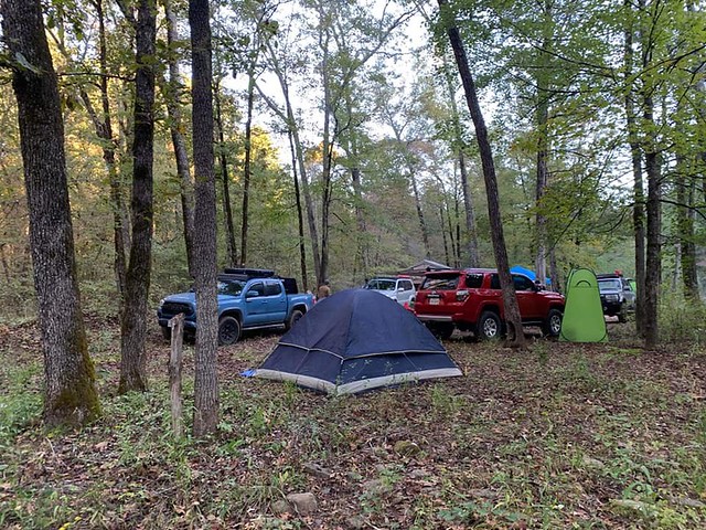
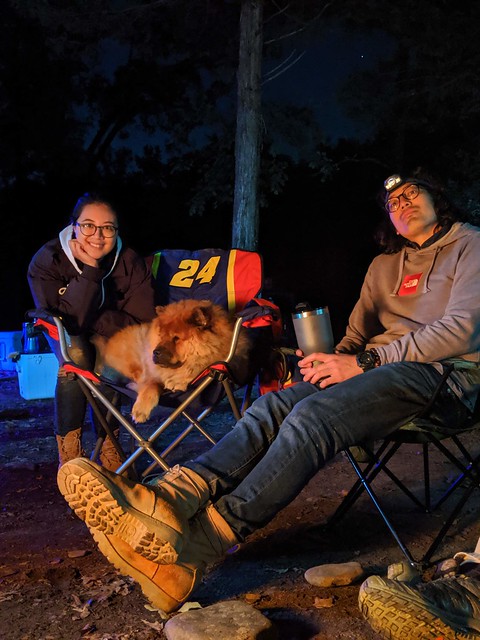
The family camping trip photo. Lambo really has the easy life.


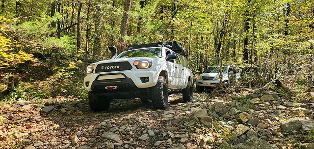
Going in a group is really fun. You kinda get more adventurous in a group because you don’t to have that worry of mechanical issues in the trail since you do have people that has your back. I brought my tools and spare parts just in case. Thankfully no issues.


All packed up. We are ready to hit the trails.

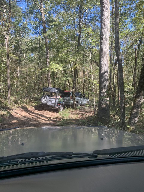
Allan was the lead and had the trail route on his Gaia Maps app. Something to look into, especially when you are out in area with no cell reception. I have google maps and I can download areas for offline mode but you have to do it when you have cell reception. It’s good to have back up just in case google maps doesn’t download, or you run into some other issues.

The cool features of Gaia Maps is members can share their route and this was how we were able to do this trail. Members willing to share their experiences so other people have a chance to enjoy the journey too.
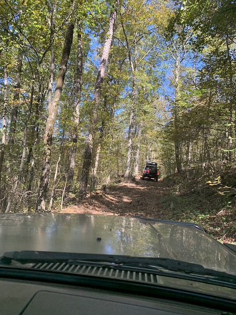

The trails was big enough for Mike’s trailer and putting in its paces. You will get some pinstripes for sure though.
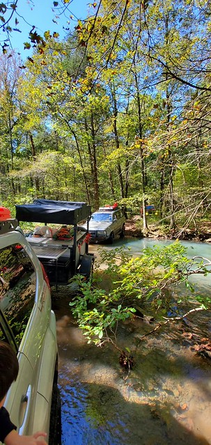
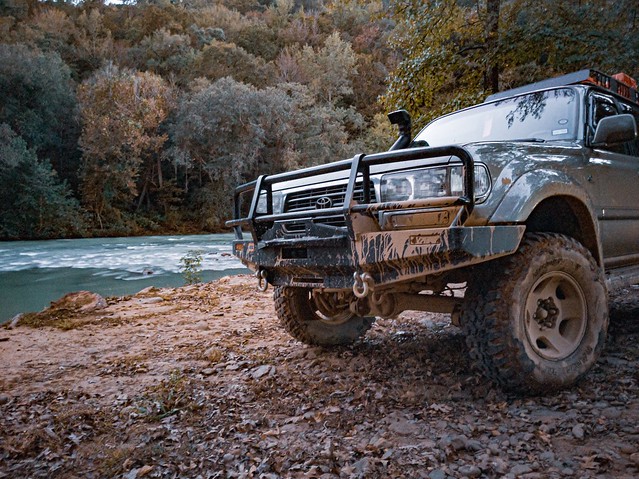
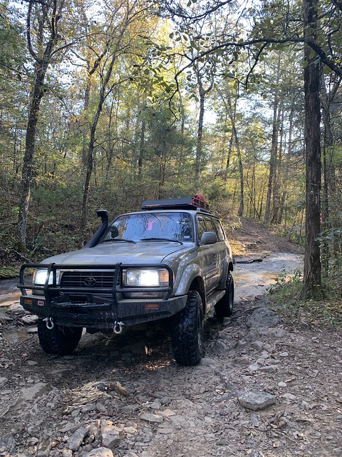
The water crossings looked clean and pristine. Not the bayou water in Houston. There was one water crossing that looked shallow but I wasnt able to see the rock bottom on the exit. I figured it wasnt too deep, but it was actually deeper then I thought!

I was the first to brave the deepest water crossing on the trail.
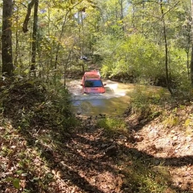
Ryans 4Runner made it without a snorkel. If I was by myself, I would have double checked the depth and even willing to get my pants wet. Honestly you should always double the check the water depth before any water crossings.


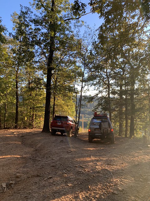
Later in the afternoon we found a bypass trail that was near a local highway and aired up. Thankfully Allan and his Gaia Maps showed a trail that lead to the highway. I really wished we completed the whole trail but you got to be a responsible adult. Work pays the bills. We all decide to head to Birds Adventure Park for our next campsite.

Time to hit the paved roads again. The camp site was roughly 1hr away from the trail exit.

The road got more twisty, and higher elevation.


We made it just in time before they closed. The campsite was fairly empty as they recent had a festival couple days ago. Booking a campsite was still a lot cheaper then booking a motel.

Everyone went to set up camp but Ryan and I wanted to hit more dirt trails. Thankfully the campsite offered such routes.

We aired down and with the route map it time to explore.


Always leave the trails cleaner, then what it was.
After couple hours on the trail, it was time to head back to the campsite.

Stay tuned.
Thank you Allan and Ryan for letting borrow your photos!